Mt Canobolas was born about 12 million years ago (Ma) when the Orange area slowly passed over a volcanic plume as the Australian Tectonic Plate moved northwards, currently at a rate of 5.6 cm per year (Sutherland, 2003; Sutherland et al., 2012; Davies et al., 2015). In a series of eruptions over about a million years volcanic lava burst through the Earth’s crust and spread 30 to 50 kilometres across the landscape creating the fertile soils of the Orange district. Previous to Canobolas, around 24 Ma, the same magma source gave rise to the Bunya Mountains in Queensland, followed by the Main Range (23 Ma) and Toowoomba volcanics (22 Ma), also in Queensland. By 21-17 Ma the plume was in northern NSW producing the Nandewar Volcanic Suite and Mt Kaputar, followed by the Warrumbungle Ranges (17-14 Ma) and finally Mt Canobolas (13-11 Ma) (Figure 1, Table 1).

Figure 1. Map of volcanic plume tracks in eastern Australia
[Note: Mt Canobolas (SO) is near the terminus of the ‘inland track’.
From Sutherland, 2003.]
Table 1. Central Volcanoes on the Bunya Mountains to Canobolas Hotspot Track.
| Centre | Age (Ma) (Jones, 2018) | Type | Maximum height (m) | Spread (km) (Sutherland, 2011) |
| Bunya Mountains | 29-23 | Central Volcano | – | – |
| Main Range | 26-22 | Central Volcano | ? | 80 × 80 |
| New England | 18-24 | Lava Field | NA | NA |
| Nandewar | 21-17 | Central Volcano | 2,500 | 30 × 50 |
| Warrumbungle | 17.1 13.6 | Central Volcano | ? | 50 × 80 |
| Dubbo | 14-12 | Lava Field | NA | NA |
| Canobolas | 13-11.2 | Central Volcano | ? | 30 × 50 |
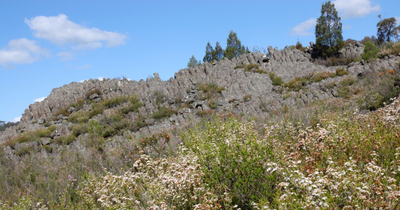
The same magma source is also believed to be responsible for basaltic lava fields that occur between the central volcanoes (Sutherland, 2003, 2012; Jones, 2018). Each central volcano in this chain formed tall isolated cone-shaped mountains that rose up to 2,500 m above the surrounds with lava spreading up to 80 kilometres from the source. There has been significant erosion of both the central volcanoes and the intervening lava fields over the last 10 to 25 million years, with Mt. Canobolas being the youngest and smallest volcano, but now the most intact. As a consequence, the volcanic provinces along the chain have decreased in size and altitude, and increased in isolation from each other over geological time.
It is important to view Mt Canobolas in a geological context as the youngest central volcano in NSW and the last in the inland central volcano chain, which includes the iconic Nandewar and Warrumbungle Ranges in the north of the state. Mt Canobolas, although a much smaller volcanic centre because of the waning influence of its magma source, nonetheless shares important geological and biological features with its northern counterparts. Accordingly, the Mt Canobolas SCA has very high scientific importance.
Volcanic Inselbergs
Each volcano on the Inland Hotspot Track in NSW would originally have risen much higher above the surrounding landscape than it does today, although the eroded remnants still tower above the lower lands around them. Effectively, each volcano became an inselberg, an island of high altitude in a sea of lowland. The high altitudes of the ancient volcanoes would have supported sub-alpine and alpine environments on their upper slopes and summits. Climate fluctuations over the last 2.4 million years (White, 1994) would have resulted in ebbing and flowing of montane and alpine plant and animal communities between lower and higher altitudes and their spreading across the landscape from the tablelands to the east leading to colonisation and recolonisation of the dormant volcanoes by these communities. In warmer periods the cool climate communities would retreat up the volcano slopes becoming isolated amid the surrounding warmer adapted vegetation types on the lower lands. Climatically, the globe is currently at the height of an interglacial warm period and the snow line has retreated to high altitudes and latitudes. Both Mt Kaputar and Mt Canobolas have remnants of sub-alpine plant communities on their upper slopes, which are at the point of maximum isolation from sub-alpine communities on the Great Dividing Range.
Say NO to Mountain Bikes in the Mount Canobolas State Conservation Area!
