Mount Canobolas has been a reserve of one form or another since 1876. Yet to this day the area’s outstanding biodiversity has not been robustly protected.
On 23rd May 1815, Assistant Government Surveyor George Evans named the mountain Jamison’s Table Mountain. However, by 1835/6 the name Mount Canobolas appeared on survey maps.
On 6th April 1835, then Surveyor-General for the Colony of NSW, Major Thomas Mitchell, climbed the mountain en route to exploring the Darling River. He reputedly was the first European to do so and is thought to have produced a rudimentary geological map of the area.
RH Cambage, a surveyor with the Department of Lands and Mines, apparently made the first collection of plants from Mt Canobolas in 1899, followed by JH Maiden and JL Boorman, collecting for the National Herbarium of NSW in 1908. Cambage was the first to produce a general scanty description of the roadside vegetation around Orange.
In 1953 reports appeared in the media indicating planning was underway for a television transmitting station on Mt Canobolas, where Country Broadcasting Services had held a lease on the peak since 1938. It wasn’t until February 1962 that the first test broadcast of commercial television was transmitted.
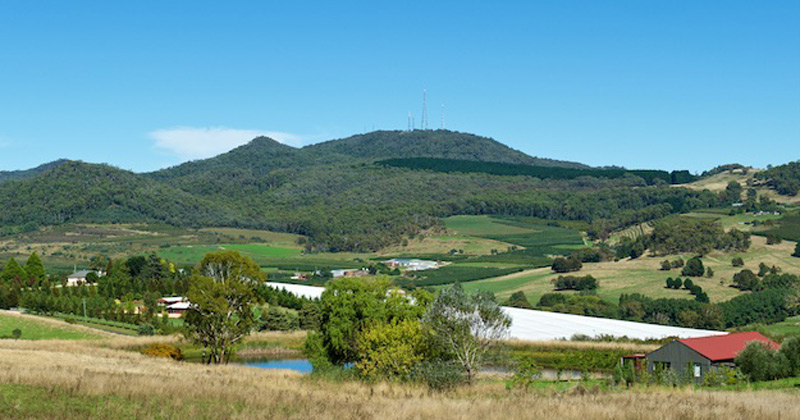
In November 1954 it was announced that an aircraft navigational aid was to be erected on top of Mt Canobolas, with a distance measuring beacon to be housed in a communications station and an access road constructed.
The area which in later years became a Park, was a ‘Water Reserve’ for travelling stock and temporary grazing, including grazing leases, from 1876 to 1958. In 1944 the area was ‘Reserved from Sale’ for Public Recreation and the first Trustees appointed. On March 22nd 1946 the Mt Canobolas Reserve was proclaimed a Bird and Animal Sanctuary and on 2nd February 1959 granted Public Recreation Reserve status, listed as Reserve 81412, comprising 1,663 ha.
The Reserve was subsequently managed by a group of Trustees, as a private trust under the control of the Department of Lands. On 8 June 1992, the Department of Lands, in line with administrative changes, classified the Reserve as a “Major Park”. The Canobolas Regional Parklands Trust, comprising ex-officio members from Government departments and Local Government, together with citizen Trustees, had become custodians, by 1994, of more than 40 parcels of land, comprising roughly 7000 ha. After years of lobbying, finally in December 1997, the original Mt Canobolas Park was gazetted as Mount Canobolas State Recreation Area, comprising 1,672 ha of unique montane and sub-alpine landscape. Adoption into the States Conservation Estate thus came about because of the area’s high natural and cultural heritage values.
At the end of 2002, amendments to the National Parks and Wildlife Act 1974 changed all State Recreation Areas to State Conservation Areas, and draft plans of management incorporated new objectives which also came into effect that same year.
Find out about the Aboriginal cultural heritage of Mount Canobolas
Say NO to Mountain Bikes in Mt Canobolas State Conservation Area!
